


Necklace valleY
September 23-25, 2009
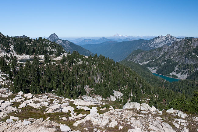
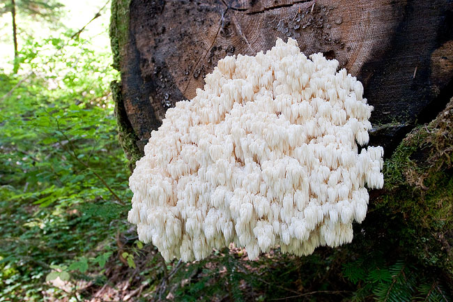
After getting a job offer from Aerojet, I decided I wanted to get out for a nice midweek backpacking trip while I still could. So before starting work, I packed up and headed to Necklace Valley. The trail starts out gently strolling up a valley along the East Fork Foss River and only gains about 600 ft over the first 5 miles. The trail then gets pretty steep and quickly gains around 2,500 ft over the next few miles until you reach Necklace Valley. The lakes in Necklace Valley weren't as nice as I'd hoped, and I had trouble finding the perfect place to camp, so I kept walking. Before I knew it, I'd reached the end of the valley with nowhere to go except back or up. So I decided to head up towards Tank Lakes with the sun getting low in the sky. I made it up about another 500 vertical feet when I found a great little spot to camp with water fairly close.
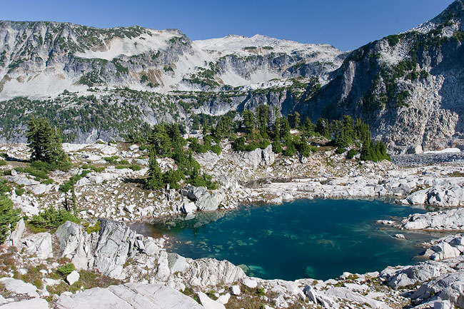
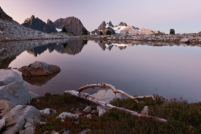
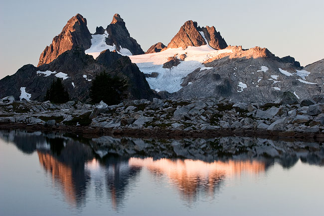
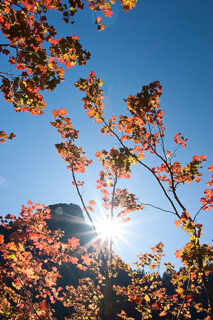
The next morning I hiked up to Tank Lakes, and explored the area looking for locations to take sunset and sunrise pictures. I also found a nice little lake to go swimming in and then ate my lunch. After spending the day exploring and taking pictures, I headed back down to my camp to make an early dinner so I could head back up to a spot I'd scouted out for sunset. It turned out to be a great day, and I didn't see a single person the whole day.
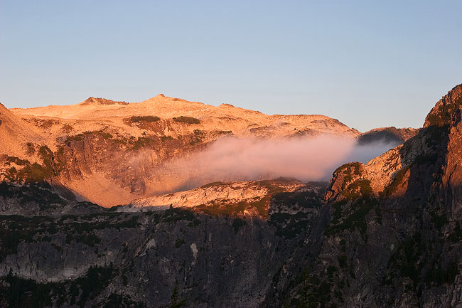
The next morning I got up early and climbed back up to Tank Lakes for sunrise. I'd hardly seen a single cloud the entire trip, and that morning was no different. I didn't get the spectacular sunrise I'd hoped for, but it was still really nice. After spending about an hour taking pictrues, I headed down to camp, packed up, and hiked the roughly 10 miles back to the trail head. It turned out to be a great trip with perfect weather.

|

|

|

|

|

|

|

|

|

|

|
|
|

|

|
|

|
|

|

|

|
|

|

|

|
|
|
|

|

|
|

|

|
|

|

|